March 7th
Last night, while figuring out the route to take to that impossibly long name, a discovery was made that didn't bod well with our original travels. Our ultimate goal was to reach Taupo to have another look at the Aratiatia Dam Rapids. The plan had been to drive to Hastings and take the scenic route Taihape Napier road to join with the SH1 toward Waiouru. But that cyclone in the early part of this year and the earthquake caused havoc and devastation throughout parts the North Island which consequently caused road closures.This was now a serious problem, not just for the tourists, but the New Zealanders especially.
 |
| The roads in black are the closures |
So another route had to be decided on before heading off to Porangahau. After a lot of deliberation we decided once we leave Porangahau, take the road to Wallingford, Wanstead and Waipukurau, turn south onto the SH2 to Palmerston North before heading North onto the SH3 to Bulls and finally the SH1 to Taupo. A grand total of 328 km.
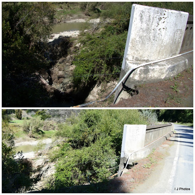
Today's journey from Eketahuna was about 120 km. The road we took was route 52 and if we saw 2 cars in 50 km we thought we hit a traffic jam!. The first part of the journey was relatively easy but the further we drove, the more road damage, slips, mud slides and trees down had to be negotiated. These photos are from roughly a 30 km stretch, all separate incidents apart from a couple and a good part of it followed the river.
 |
| The flooded river overflowed the road, causing many slips. You can see how high it got by the next two photos |
 |
| Part of this house's garden was washed away |
 |
| And the gate opposite to that house. |
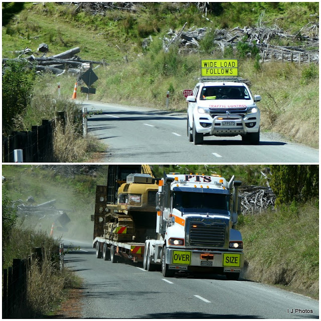
This was a very challenging road and matters were made worse when a pilot car turned up waving a stop sign at us. A wide load was following, it was a case of breath in and hope for the best!
Eventually though, we reached our destination. At first, we were a bit confused. We saw a brown information sign with a turn off in 500 mts on the left but I happened to glance over my shoulder to see an open gate with the sign in full display. So here we stopped to take photos.
That other brown sign seemed so out of place, had it been put in the wrong part of the road? We drove further for a look and there by a lay-by was yet another with the same placename.
I believe this was the actual sign and not the other one. Quite why there were two is a mystery.
The locals call it Taumata Hill, even they would no doubt struggle with the pronunciation. But the place is in the Gunness Book of Records as the Worlds longest word, beating our North Welsh town, Llanfairpwllgwyngyllgogerychwyrndrobwllllantysiliogogogoch,
Tonight we have stopped near Te Paerahi Beach. Another freedom camp ground and so out of the way, only one other camper van here.
And today's wildlife


No comments:
Post a Comment